Tuesday, November 27, 2007
New Google Maps Terrain Button
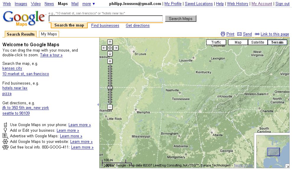
Google Maps replaced the button Hybrid with a button reading Terrain (Hybrid used to show a mix between satellite imagery and maps data, such as streets or borders). The Satellite tab in the meantime received a checkbox which allows you to toggle off the display of labels on the map.
Anders, who discovered this change and shared it in the forum, notes that the new Terrain view “is mostly interesting to those of us who love geospatial data. The elevation looks like shadows.”
Anders notes another amendment to Google Maps, saying “search for a location and in the pop-up bubble, a Street View still image appears if there is Street View available for that location.” To reproduce this, you can search for e.g. N North Park Ave, Chicago, IL. Google Maps Street View allows you to view (pan and zoomable) panoramic photos of a limited number of US cities.
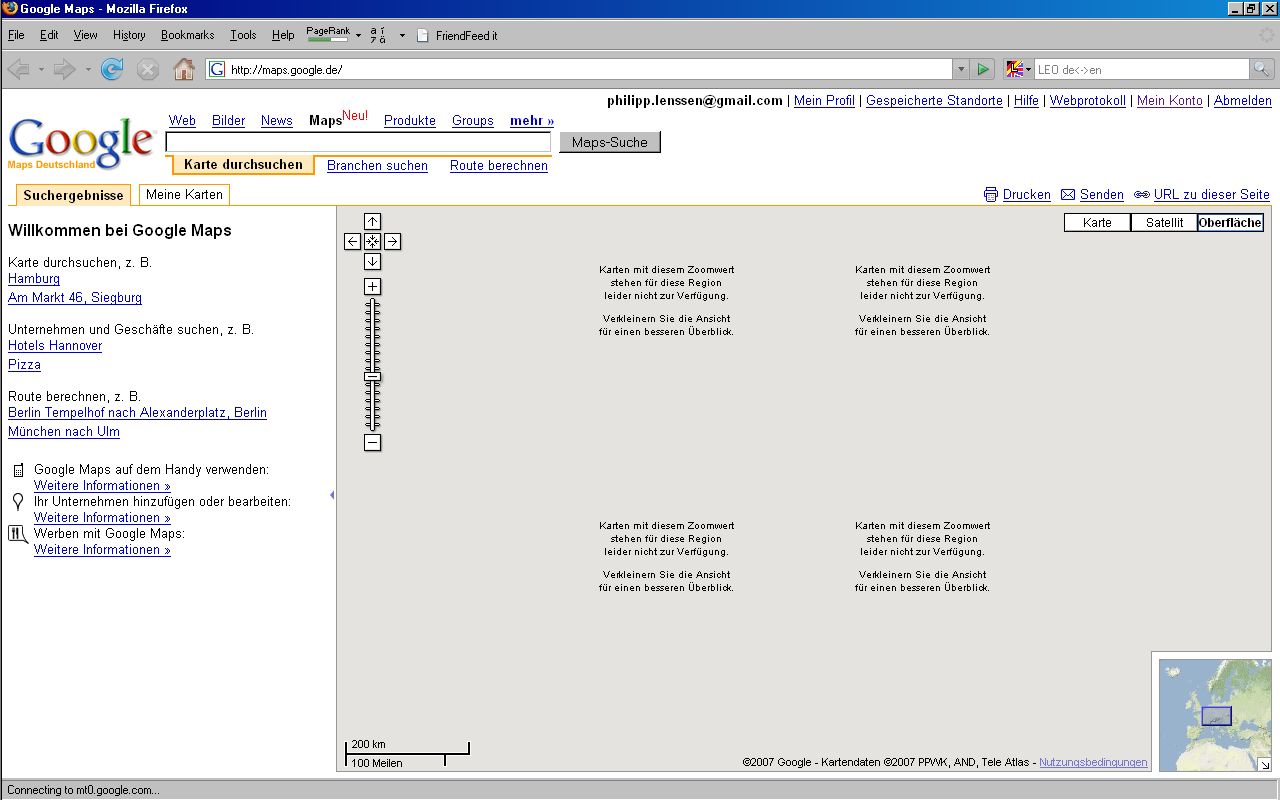
I can see this change live for other country’s Google Maps versions as well, like German maps.google.de, though as is often the case the map tiles don’t load properly here. Google Maps China on the other hand doesn’t have any satellite or terrain view, likely due to Google following censorship instructions from Chinese authorities.
[Thanks Anders!]
>> More posts
Advertisement
This site unofficially covers Google™ and more with some rights reserved. Join our forum!