Monday, February 2, 2009
Google Earth 5 Maps Oceans
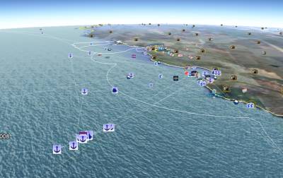
Google announced that the latest version of Google Earth maps the oceans in much more detail*. To view the ocean imagery, tick the Ocean layer in Google Earth.
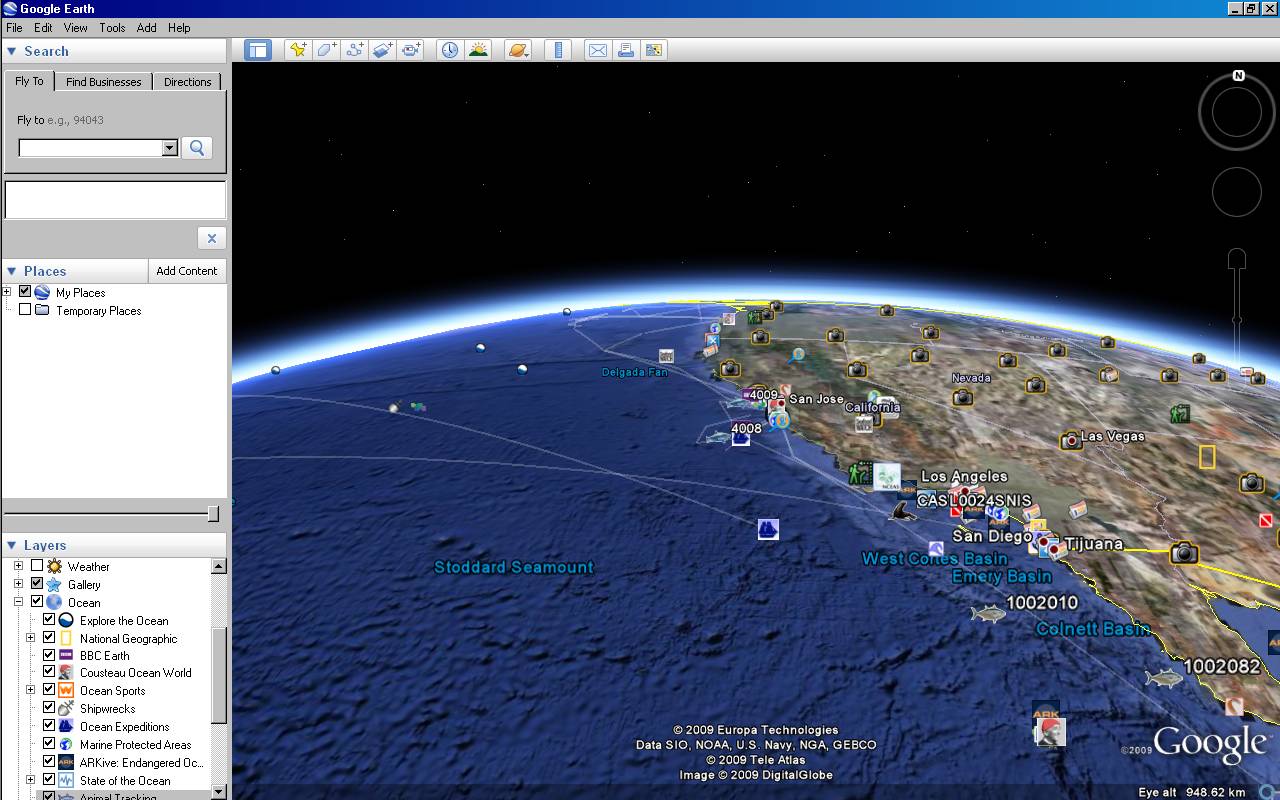


Also, Google says that Google Earth 5 delivers historical images, letting you move back in time to see earth as it once was. To see this, click the clock icon on top in Google Earth and slide the time indicator back up to roughly half a century. New in this version as well is a 3D view of the Mars surface, as Google writes.
[Thanks Luka and Luke!]
*I’m not sure how much of that data has made it into web-based sibling Google Maps.
>> More posts
Advertisement
Advertisement
This site unofficially covers Google™ and more with some rights reserved. Join our forum!