Thursday, March 19, 2009
Google Street View Launched in UK and Netherlands
By Tony Ruscoe
Google Maps Mania reports that Google Maps has now added Street View to parts of the UK and the Netherlands, allowing roads and buildings to be viewed from ground-level.
Cities in the UK which appear to have the street-level panoramic photos include: Birmingham, Bristol, Cambridge, Coventry, Derby, Leeds, Liverpool, London, Manchester, Newcastle, Norwich, Nottingham, Oxford, Scunthorpe, Sheffield, Southampton and York (England); Belfast (Northern Ireland); Aberdeen, Dundee, Edinburgh and Glasgow (Scotland); Cardiff and Swansea (Wales).
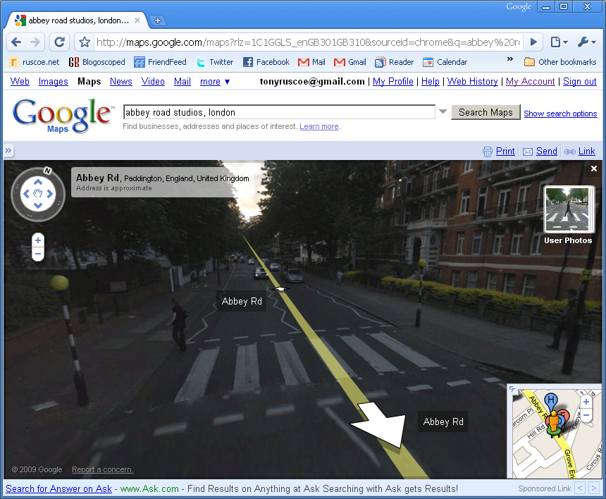
Abbey Road, as made famous by The Beatles
To view Street View imagery in Google Maps, drag the orange “Pegman” icon above the zoom slider on the left-hand side of the map onto a street; any with Street View enabled should turn blue when you start dragging.
Having checked my old house in Sheffield, which I moved out of last year, I can tell that the photo was taken in the last nine months, so it’s much more up-to-date than the Google Maps imagery for the area. Around seven months ago, members of my family spotted the cars driving around a few towns near Manchester, but that imagery is not yet available, so I think we can assume that today’s release is just the first phase of the rollout.
I had some issues viewing and sending the permanent links for Street View imagery in Google Chrome 2.0.169.1 Beta but other than that, everything works great and the images are pretty highly detailed. For me, Google Street View is much more impressive now that I actually recognise the streets. I’ve even managed to spot some friends with blurred out faces!
[Thanks Justinf!]
>> More posts
Advertisement
This site unofficially covers Google™ and more with some rights reserved. Join our forum!