Thursday, April 12, 2007
Google Maps With 3D
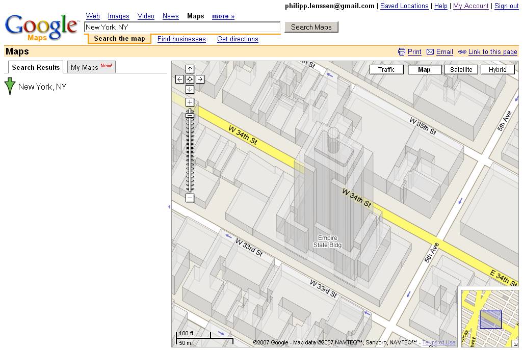
Many US cities in Google Maps now come with a new zoom level that shows a wireframe 3D view... like New York. Looks neat – see the Empire State Building above. The data for these views comes from Google Earth, and the Ogle Earth blog comments, “Convergence between Google Earth and Maps continues”.
[Thanks TomHTML and Reto Meier!]
>> More posts
Advertisement
Advertisement
This site unofficially covers Google™ and more with some rights reserved. Join our forum!